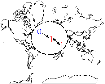
Cuzick & Edwards’ Method can detect global spatial clusters in individual-level case-control data. This method uses the control location to reflect the geographic variation in the population density as a whole. Use this method when you know both case and control locations (e.g. place of residence), and when you have selected controls from the same population as the cases. You should code your cases 1 and your controls 0. Spatial coordinates should have numerical order (1…n) that corresponds to the subject ordering.
Example
Cuzick and Edwards (1990) used the method to screen for clusters of cases of childhood leukemia and lymphoma diagnosed in North Humberside, U.K. between 1974 and 1986. The data showed significant spatial clustering of leukemia cases relative to the spatial distribution of the controls.
![]()